
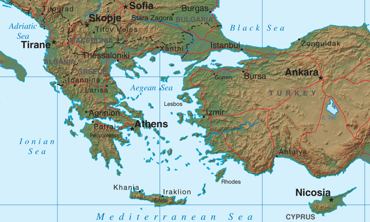
Greece Relief Map
Map of Greece > Greece Locator Map • Greece Travel • Greece Relief Map • Athens Map
 To print this map, click on the map. After map loads, press Ctrl+P.
 Greece includes a mainland core area and more than 1,500 Greek islands,
about 10% of which are inhabited. The large Greek island of Crete
is located to the south of the mainland.
Greece includes a mainland core area and more than 1,500 Greek islands,
about 10% of which are inhabited. The large Greek island of Crete
is located to the south of the mainland.
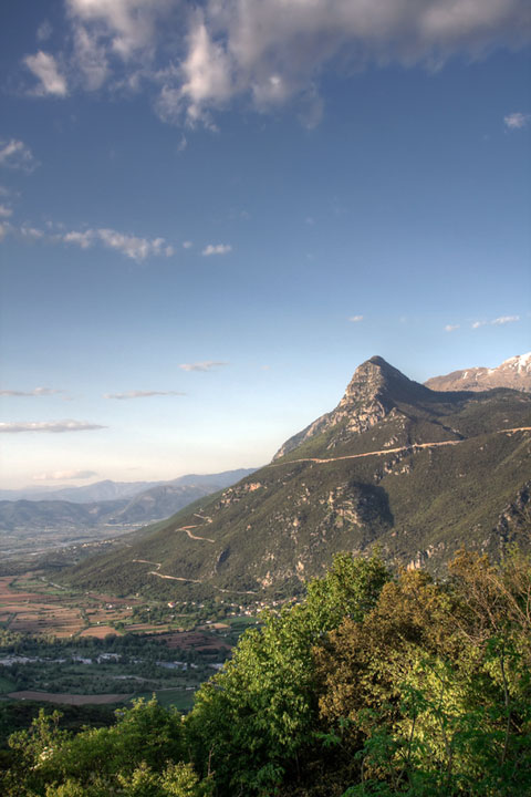 Greece's mainland is comprised mostly of mountains, including the Pindos
Mountains, a part of the Dinaric Alps that run southeastward, along the
peninsula, from the Albanian border. Mountainous areas on Crete and
on the island of Rhodes were once part of the same range. The
Rhodope Mountains, which are located in the northeast, separate Greece
from Bulgaria.
Greece's mainland is comprised mostly of mountains, including the Pindos
Mountains, a part of the Dinaric Alps that run southeastward, along the
peninsula, from the Albanian border. Mountainous areas on Crete and
on the island of Rhodes were once part of the same range. The
Rhodope Mountains, which are located in the northeast, separate Greece
from Bulgaria.
While low-lying plains are sparse in Greece, some do exist. The northern plain runs from the Turkish border to the Greek province of Macedonia, while the plain of Thessaly is located in the central eastern portion of the Greek mainland.
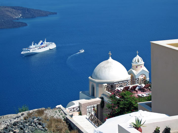
 Much of Greece's land, including the warm-climate beaches and grand rocky
areas, are responsible for bringing millions of tourists to Greece every
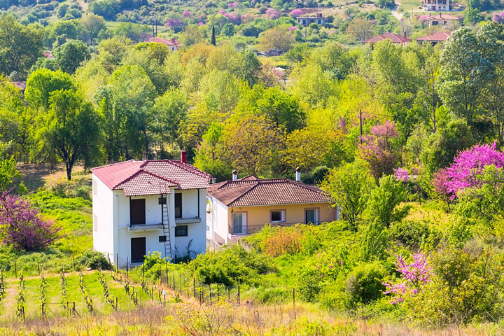
year. While the land is typically poor and the soil not suited to
vegetation, the country still remains very dependent upon agriculture,
and can mostly support itself on its own food production. Most of
the agricultural enterprises are small farms that grow olives, wheat,
tobacco, and citrus, or that raise livestock such as sheep and pigs.
Much of Greece's land, including the warm-climate beaches and grand rocky
areas, are responsible for bringing millions of tourists to Greece every
year. While the land is typically poor and the soil not suited to
vegetation, the country still remains very dependent upon agriculture,
and can mostly support itself on its own food production. Most of
the agricultural enterprises are small farms that grow olives, wheat,
tobacco, and citrus, or that raise livestock such as sheep and pigs.